Dam data table
|
Dam No.:3084
|
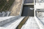
Takigawa Dam [Mie Pref.]
|
|
|
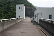
Dam Photo
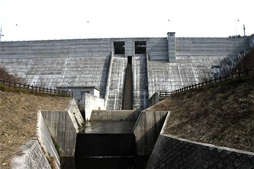
(Photo by: Fuku)
|
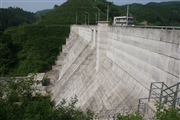 041096 Kancho!
|
|
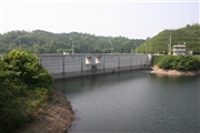 041097 Kancho!
|
|
 041094 Kancho!
|
|
 039869 Fuku
|
|
|
| Location (Latitude, Longitude) |
N 34°431' 01'',E 136°12' 52''
[Japanese Dam Finder]
|
| Purpose/Dam type |
FNW/G
|
| Height/Crest length/Dam volume |
29.8m/120m/30 thousand m3 |
| Catchment area/Water surface area |
1.6km2/4ha |
| Reservoir capacity |
282 thousand m3 |
| FY project started/completed |
1990/1999
|
