|
|
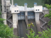
Dam Photo
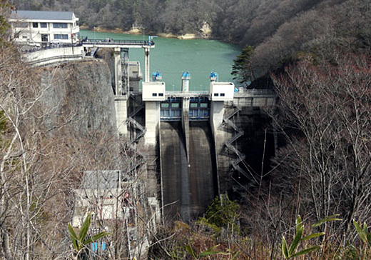
(Photo by: marc no hito)
|
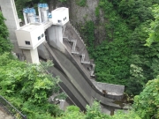 139815 ohba
|
|
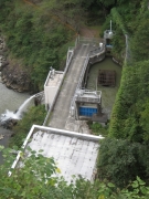 135228 s_wind
|
|
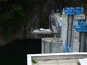 046554 Dai
|
|
 139814 ohba
|
|
|
| Location (Latitude, Longitude) |
N 38°461' 48'',E 140°52' 08''
[Japanese Dam Finder]
|
| Purpose/Dam type |
FNWP/G
|
| Height/Crest length/Dam volume |
48.5m/72m/46 thousand m3 |
| Catchment area/Water surface area |
126.9km2/240ha |
| Reservoir capacity |
36600 thousand m3 |
| FY project started/completed |
1991/2004
|
