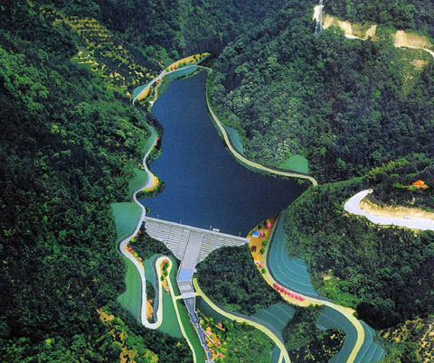
[Back] @[Dams in Japan] @[Japanese Page]


Dam data table
@
Dam No.F3135
@
Okuyama Dam mHiroshima Pref.n


Dam Photo


Location (Latitude, Longitude) N 34‹181' 57''CE 133‹10' 42''   [Japanese Dam Finder]
Purpose^Dam type A^G
Height^Crest length^Dam volume 32.7m^106m^27 thousand m3
Catchment area^Water surface area 1.4km2^3ha
Reservoir capacity 291 thousand m3
FY project started^completed 1991^2009


Notes:
1. Dam purposes are abbreviated as follows:
A: Agricultural irrigation   F: Flood control   I: Water supply for industry   N: Non-specified, river flow maintenance
P: Hydropower   R: Recreation   S: Snow melting &removing   W: Water supply

2. Dam types are abbreviated as follows:
A: Arch   B: Buttress   CSG: Trapezoidal CSG   E: Earthfill   FA: Asphalt face fill   FC: Asphalt core fill   G: Gravity
GF: Gravity concrete & fill dam (compound)   HG: Hollow gravity   MA: Multi-arch   R: Rockfill

3. The fiscal year (FY) in Japan is from April 1 to March 31 of the following year.

Please send your comments
Copyright 2012 JAPAN DAM FOUNDATION. All rights reserved.

[Back] @[Dams in Japan] @[Japanese Page]