Dam data table
|
Dam No.:3308
|
Kakinokidani-ike Dam [Hyogo Pref.]
|
|
|
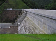
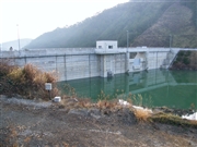
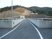
Dam Photo
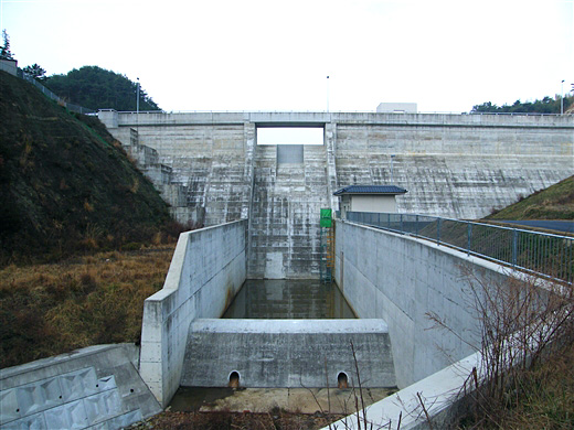
(Photo by: Dai)
|
 039539 Hi Ace
|
|
 075909 Dai
|
|
 075911 Dai
|
|
 075910 Dai
|
|
|
| Location (Latitude, Longitude) |
N 34°181' 35'',E 134°42' 56''
[Japanese Dam Finder]
|
| Purpose/Dam type |
FA/G
|
| Height/Crest length/Dam volume |
25.1m/117m/19 thousand m3 |
| Catchment area/Water surface area |
km2/5ha |
| Reservoir capacity |
386 thousand m3 |
| FY project started/completed |
1994/2006
|
