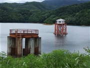
[Back]  [Dams in Japan]  [Japanese Page]


Dam data table
 
Dam No.:3324
 
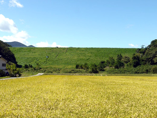
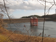
Fukada Choseichi [Fukushima Pref.]


Dam Photo

(Photo by: marc no hito)
135265 s_wind
094296 Dam master
135266 s_wind
046561 Dai
Location (Latitude, Longitude) N 37°231' 01'',E 140°15' 23''   [Japanese Dam Finder]
Purpose/Dam type A/E
Height/Crest length/Dam volume 55.5m/340m/1179 thousand m3
Catchment area/Water surface area 1.3km2/50ha
Reservoir capacity 8690 thousand m3
FY project started/completed 1970/1982


Notes:
1. Dam purposes are abbreviated as follows:
A: Agricultural irrigation   F: Flood control   I: Water supply for industry   N: Non-specified, river flow maintenance
P: Hydropower   R: Recreation   S: Snow melting &removing   W: Water supply

2. Dam types are abbreviated as follows:
A: Arch   B: Buttress   CSG: Trapezoidal CSG   E: Earthfill   FA: Asphalt face fill   FC: Asphalt core fill   G: Gravity
GF: Gravity concrete & fill dam (compound)   HG: Hollow gravity   MA: Multi-arch   R: Rockfill

3. The fiscal year (FY) in Japan is from April 1 to March 31 of the following year.

Please send your comments
Copyright 2012 JAPAN DAM FOUNDATION. All rights reserved.

[Back]  [Dams in Japan]  [Japanese Page]