Dam data table
|
Dam No.:3325
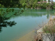
|
Ohtani-ike (Re) [Osaka Pref.]
|
|
|
Dam Photo
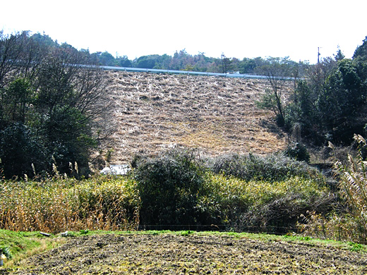
(Photo by: Dai)
|
 075916 Dai
|
|
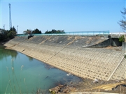
 039663 Hi Ace
|
|
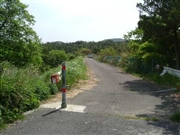
 039649 Hi Ace
|
|
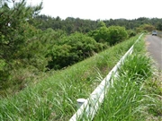
 039653 Hi Ace
|
|
|
| Location (Latitude, Longitude) |
N 34°201' 11'',E 135°15' 21''
[Japanese Dam Finder]
|
| Purpose/Dam type |
A/E
|
| Height/Crest length/Dam volume |
18.7m/125.3m/53 thousand m3 |
| Catchment area/Water surface area |
km2/3ha |
| Reservoir capacity |
115 thousand m3 |
| FY project started/completed |
1969/1971
|
