Dam data table
|
Dam No.:3349
|
Ohzsemachi Dam [Ishikawa Pref.]
|
|
|
Dam Photo
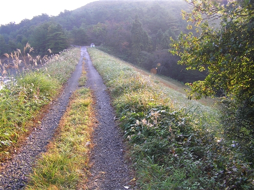
(Photo by: Atsushi Kato)
|
|
| Location (Latitude, Longitude) |
N 37°41' 42'',E 136°48' 12''
[Japanese Dam Finder]
|
| Purpose/Dam type |
A/E
|
| Height/Crest length/Dam volume |
18m/94m/47 thousand m3 |
| Catchment area/Water surface area |
0.9km2/14ha |
| Reservoir capacity |
861 thousand m3 |
| FY project started/completed |
1942/1954
|
