Dam data table
|
Dam No.:3353
|
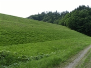
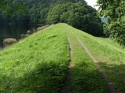
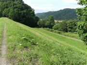
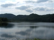
Koshi Dam [Hokkaido Pref.]
|
|
|
Dam Photo
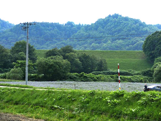
(Photo by: samson)
|
 084997 samson
|
|
 085001 samson
|
|
 085002 samson
|
|
 085003 samson
|
|
|
| Location (Latitude, Longitude) |
N 44°31' 16'',E 142°39' 00''
[Japanese Dam Finder]
|
| Purpose/Dam type |
A/E
|
| Height/Crest length/Dam volume |
16.3m/180m/92 thousand m3 |
| Catchment area/Water surface area |
10.4km2/26ha |
| Reservoir capacity |
1316 thousand m3 |
| FY project started/completed |
1934/1937
|
