Dam data table
|
Dam No.:3355
|
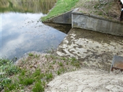
Ninosawa Dam [Hokkaido Pref.]
|
|
|
Dam Photo
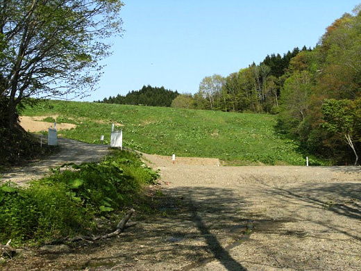
(Photo by: samson)
|
 136683 samson
|
|
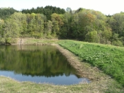
 102709 Dai
|
|
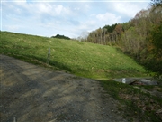
 102711 Dai
|
|
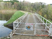
 102712 Dai
|
|
|
| Location (Latitude, Longitude) |
N 43°71' 26'',E 141°50' 48''
[Japanese Dam Finder]
|
| Purpose/Dam type |
A/E
|
| Height/Crest length/Dam volume |
18.4m/125.1m/49 thousand m3 |
| Catchment area/Water surface area |
0.9km2/5ha |
| Reservoir capacity |
304 thousand m3 |
| FY project started/completed |
1923/1925
|
