Dam data table
|
Dam No.:3358
|
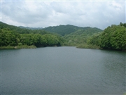
Nuppanosawa Dam [Hokkaido Pref.]
|
|
|
Dam Photo
(Photo by: samson)
|
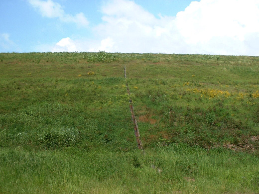
 080474 samson
|
|
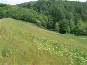
 136536 Dai
|
|
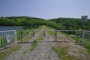
 136538 Dai
|
|
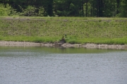
 080475 samson
|
|
|
| Location (Latitude, Longitude) |
N 43°151' 48'',E 141°53' 13''
[Japanese Dam Finder]
|
| Purpose/Dam type |
A/E
|
| Height/Crest length/Dam volume |
22.7m/190m/118 thousand m3 |
| Catchment area/Water surface area |
4.5km2/5ha |
| Reservoir capacity |
350 thousand m3 |
| FY project started/completed |
1931/1933
|
