Dam data table
|
Dam No.:3363
|
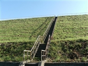
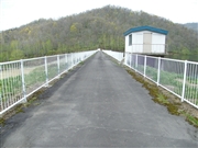
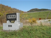
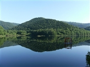
Etanbetsu Dam [Hokkaido Pref.]
|
|
|
Dam Photo
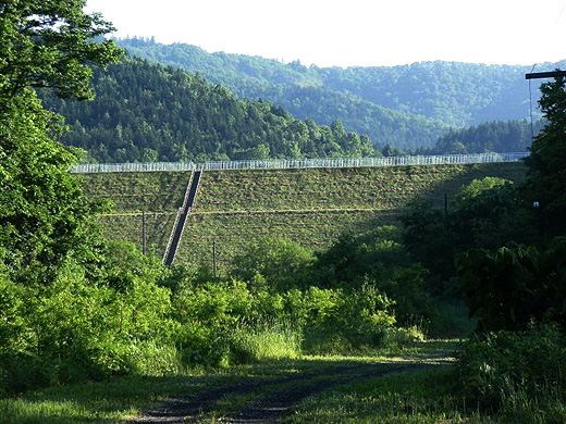
(Photo by: samson)
|
 104447 samson
|
|
 102719 Dai
|
|
 095150 Danbosan
|
|
 104441 samson
|
|
|
| Location (Latitude, Longitude) |
N 43°551' 19'',E 142°15' 40''
[Japanese Dam Finder]
|
| Purpose/Dam type |
A/E
|
| Height/Crest length/Dam volume |
17.4m/220m/112 thousand m3 |
| Catchment area/Water surface area |
9.1km2/19ha |
| Reservoir capacity |
981 thousand m3 |
| FY project started/completed |
1965/1974
|
