Dam data table
|
Dam No.:3378
|
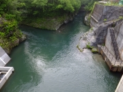
Shinkoara Dam (Re) [Niigata Pref.]
|
→ Koara Dam (Pre)
|
|
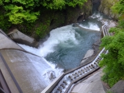
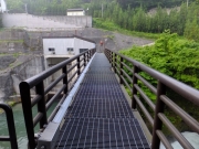
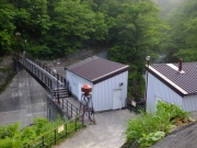
Dam Photo
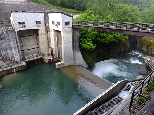
(Photo by: Hajime Tanaka)
|
 207047 Hajime Tanaka
|
|
 207051 Hajime Tanaka
|
|
 207054 Hajime Tanaka
|
|
 207053 Hajime Tanaka
|
|
|
| Location (Latitude, Longitude) |
N 37°441' 34'',E 139°35' 45''
[Japanese Dam Finder]
|
| Purpose/Dam type |
P/G
|
| Height/Crest length/Dam volume |
19.2m/24.2m/5 thousand m3 |
| Catchment area/Water surface area |
100.1km2/ha |
| FY project started/completed |
1998/2003
|
