Dam data table
|
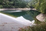
Dam No.:3431
|
Oshino Tameike [Yamanashi Pref.]
|
|
|
Dam Photo
(Photo by: Ike-chan)
|
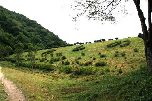
 108117 Ike-chan
|
|
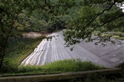
 108146 Ike-chan
|
|
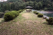
 125210 KAKI
|
|
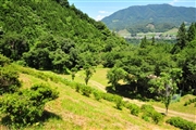
 108138 Ike-chan
|
|
|
| Location (Latitude, Longitude) |
N 35°351' 52'',E 139°0' 25''
[Japanese Dam Finder]
|
| Purpose/Dam type |
A/E
|
| Height/Crest length/Dam volume |
27.4m/111m/15 thousand m3 |
| Catchment area/Water surface area |
1.7km2/2ha |
| Reservoir capacity |
141 thousand m3 |
| FY project started/completed |
/1933
|
