Dam data table
|
Dam No.:3503
|
Hiramatsu-ike [Okayama Pref.]
|
|
|
Dam Photo
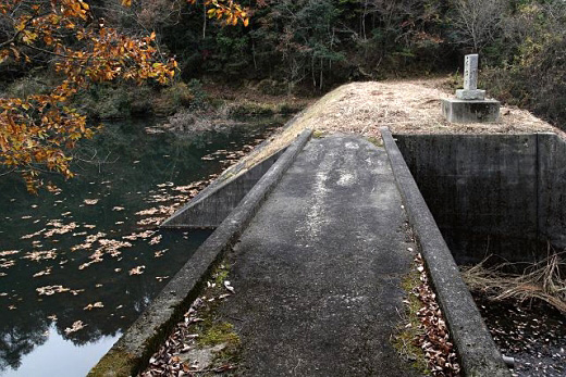
(Photo by: cantam)
|
|
| Location (Latitude, Longitude) |
N 34°551' 04'',E 133°58' 14''
[Japanese Dam Finder]
|
| Purpose/Dam type |
A/E
|
| Height/Crest length/Dam volume |
21.4m/48.8m/23 thousand m3 |
| Catchment area/Water surface area |
0.2km2/1ha |
| Reservoir capacity |
35 thousand m3 |
| FY project started/completed |
1920/1939
|
