Dam data table
|
Dam No.:3535
|
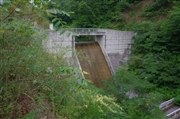
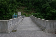
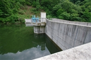
Kusatsuki Dam [Okayama Pref.]
|
|
|
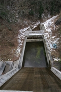
Dam Photo
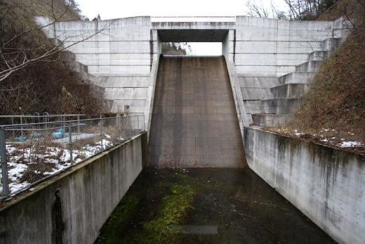
(Photo by: cantam)
|
 126690 Dai
|
|
 126687 Dai
|
|
 126688 Dai
|
|
 085575 cantam
|
|
|
| Location (Latitude, Longitude) |
N 34°541' 47'',E 133°28' 56''
[Japanese Dam Finder]
|
| Purpose/Dam type |
A/G
|
| Height/Crest length/Dam volume |
24m/68m/11 thousand m3 |
| Catchment area/Water surface area |
0.4km2/ha |
| Reservoir capacity |
55 thousand m3 |
| FY project started/completed |
/2000
|
