Dam data table
|
Dam No.:3585
|
Koiragawa Dam [Yamagata Pref.]
|
|
|
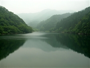
Dam Photo
(Photo by: Kei)
|
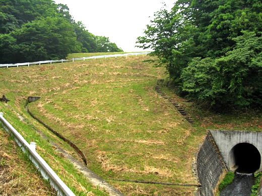
 106687 Dai
|
|
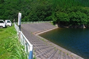
 106689 Dai
|
|
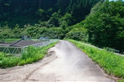
 106688 Dai
|
|
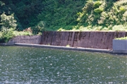
 086393 Kei
|
|
|
| Location (Latitude, Longitude) |
N 38°491' 16'',E 140°22' 45''
[Japanese Dam Finder]
|
| Purpose/Dam type |
A/E
|
| Height/Crest length/Dam volume |
21.9m/67m/46 thousand m3 |
| Catchment area/Water surface area |
4.1km2/5ha |
| Reservoir capacity |
358 thousand m3 |
| FY project started/completed |
1963/1965
|
