Dam data table
|
Dam No.:3608
|
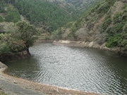
No.1 Fukurogura Dam [Chiba Pref.]
|
|
|
Dam Photo
(Photo by: Dai)
|
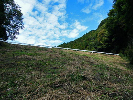
 124257 Dai
|
|
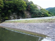
 124255 Dai
|
|
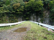
 124258 Dai
|
|
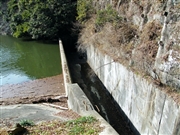
 123859 mayuno
|
|
|
| Location (Latitude, Longitude) |
N 35°81' 33'',E 140°7' 46''
[Japanese Dam Finder]
|
| Purpose/Dam type |
AW/E
|
| Height/Crest length/Dam volume |
22m/60m/ thousand m3 |
| Catchment area/Water surface area |
0.6km2/2ha |
| Reservoir capacity |
157 thousand m3 |
| FY project started/completed |
/1923
|
