Dam data table
|
Dam No.:3632
|
Yamamoto Tyouseiti [Niigata Pref.]
|
|
|
Dam Photo
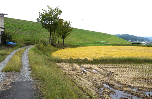
(Photo by: marc no hito)
|
|
| Location (Latitude, Longitude) |
N 37°171' 29'',E 138°48' 01''
[Japanese Dam Finder]
|
| Purpose/Dam type |
P/E
|
| Height/Crest length/Dam volume |
27.5m/926.6m/ thousand m3 |
| Catchment area/Water surface area |
km2/16ha |
| Reservoir capacity |
1071 thousand m3 |
| FY project started/completed |
/1954
|
