[Back]  [Dams in Japan]  [Japanese Page]


Dam data table
 
Dam No.:3674
 
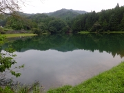
Kuriyasawa Dam [Tochigi Pref.]


Dam Photo

(Photo by: Hajime Tanaka)
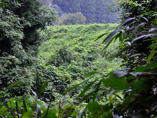
210752 Hajime Tanaka
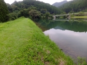
210748 Hajime Tanaka
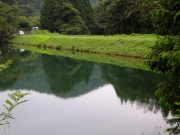
210750 Hajime Tanaka
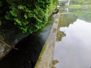
210751 Hajime Tanaka
Location (Latitude, Longitude) N 36°381' 32'',E 139°48' 20''   [Japanese Dam Finder]
Purpose/Dam type A/E
Height/Crest length/Dam volume 15m/115m/ thousand m3
Catchment area/Water surface area 1km2/ha
FY project started/completed /1948


Notes:
1. Dam purposes are abbreviated as follows:
A: Agricultural irrigation   F: Flood control   I: Water supply for industry   N: Non-specified, river flow maintenance
P: Hydropower   R: Recreation   S: Snow melting &removing   W: Water supply

2. Dam types are abbreviated as follows:
A: Arch   B: Buttress   CSG: Trapezoidal CSG   E: Earthfill   FA: Asphalt face fill   FC: Asphalt core fill   G: Gravity
GF: Gravity concrete & fill dam (compound)   HG: Hollow gravity   MA: Multi-arch   R: Rockfill

3. The fiscal year (FY) in Japan is from April 1 to March 31 of the following year.

Please send your comments
Copyright 2012 JAPAN DAM FOUNDATION. All rights reserved.

[Back]  [Dams in Japan]  [Japanese Page]