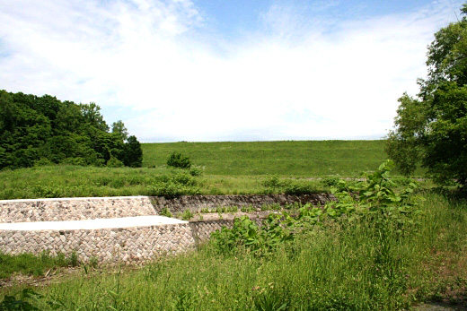
Dam data table
|
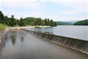
Dam No.:35
|
Seidai Dam [Hokkaido Pref.]
|
|
|
Dam Photo
(Photo by: samson)
|
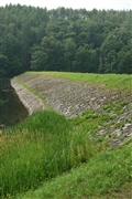 042409 Fukachan
|
|
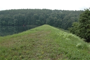 042401 Fukachan
|
|
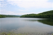 080417 samson
|
|
 080415 samson
|
|
|
| Location (Latitude, Longitude) |
N 43°361' 43'',E 142°31' 27''
[Japanese Dam Finder]
|
| Purpose/Dam type |
A/E
|
| Height/Crest length/Dam volume |
29.7m/485.4m/318 thousand m3 |
| Catchment area/Water surface area |
124.1km2/51ha |
| Reservoir capacity |
3767 thousand m3 |
| FY project started/completed |
/1937
|
