Dam data table
|
Dam No.:40
|
Uryu No.1 Dam [Hokkaido Pref.]
|
→ Uryu No.1 (Re)
|
|
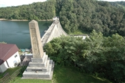
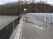
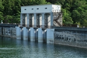
Dam Photo
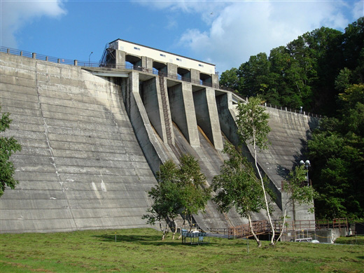
(Photo by: Danbosan)
|
 042446 Fukachan
|
|
 095121 Danbosan
|
|
 042453 Fukachan
|
|
 095122 Danbosan
|
|
|
| Location (Latitude, Longitude) |
N 44°181' 02'',E 142°10' 57''
[Japanese Dam Finder]
|
| Purpose/Dam type |
P/G
|
| Height/Crest length/Dam volume |
45.5m/216m/188 thousand m3 |
| Catchment area/Water surface area |
368.5km2/2373ha |
| Reservoir capacity |
244653 thousand m3 |
| FY project started/completed |
1939/1943
|
