|
|
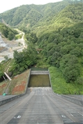
Dam Photo
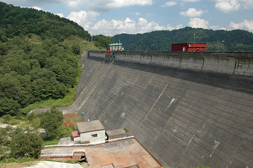
(Photo by: Fukachan)
|
 042508 Fukachan
|
|
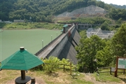
 042521 Fukachan
|
|
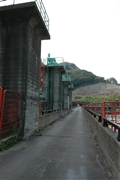
 042520 Fukachan
|
|
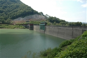
 042523 Fukachan
|
|
|
| Location (Latitude, Longitude) |
N 43°141' 23'',E 142°0' 09''
[Japanese Dam Finder]
|
| Purpose/Dam type |
FAWP/G
|
| Height/Crest length/Dam volume |
63.6m/334.3m/350 thousand m3 |
| Catchment area/Water surface area |
298.7km2/499ha |
| Reservoir capacity |
92700 thousand m3 |
| FY project started/completed |
1947/1957
|
