Dam data table
|
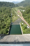
Dam No.:73
|
Kanayama Dam [Hokkaido Pref.]
|
|
|
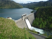
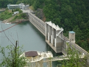
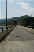
Dam Photo
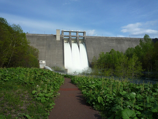
(Photo by: Futoyasha)
|
 124344 Futoyasha
|
|
 083201 Futoyasha
|
|
 042603 Fukachan
|
|
 042617 Fukachan
|
|
|
| Location (Latitude, Longitude) |
N 43°71' 46'',E 142°26' 35''
[Japanese Dam Finder]
|
| Purpose/Dam type |
FAWP/HG
|
| Height/Crest length/Dam volume |
57.3m/288.5m/220 thousand m3 |
| Catchment area/Water surface area |
470km2/920ha |
| Reservoir capacity |
150450 thousand m3 |
| FY project started/completed |
1959/1967
|
