Dam data table
|
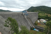
Dam No.:81
|
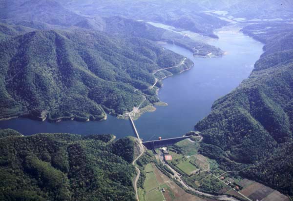
Iwaonai Dam [Hokkaido Pref.]
|
|
|
Dam Photo
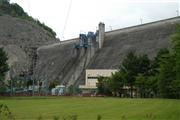 042650 Fukachan
|
|
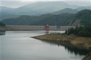 042638 Fukachan
|
|
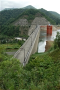 042647 Fukachan
|
|
 042644 Fukachan
|
|
|
| Location (Latitude, Longitude) |
N 44°61' 55'',E 142°42' 26''
[Japanese Dam Finder]
|
| Purpose/Dam type |
FAWIP/G
|
| Height/Crest length/Dam volume |
58m/448m/394 thousand m3 |
| Catchment area/Water surface area |
331.4km2/510ha |
| Reservoir capacity |
107700 thousand m3 |
| FY project started/completed |
1963/1970
|