Dam data table
|
Dam No.:113
|
Shinnakano Dam (Re) [Hokkaido Pref.]
|
→ Nakano Dam (Pre)
|
|
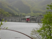
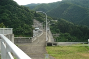
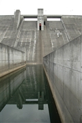
Dam Photo
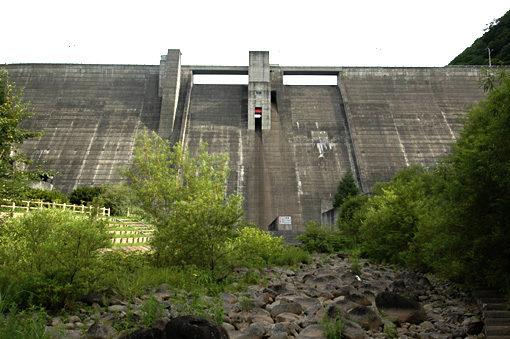
(Photo by: Fukachan)
|
 061441 Dai
|
|
 042856 Fukachan
|
|
 042852 Fukachan
|
|
 042853 Fukachan
|
|
|
| Location (Latitude, Longitude) |
N 41°521' 13'',E 140°47' 09''
[Japanese Dam Finder]
|
| Purpose/Dam type |
FNW/G
|
| Height/Crest length/Dam volume |
74.9m/248m/256 thousand m3 |
| Catchment area/Water surface area |
17.5km2/18ha |
| Reservoir capacity |
3340 thousand m3 |
| FY project started/completed |
1971/1984
|
