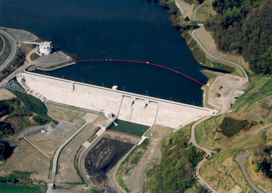
Dam data table
|
Dam No.:147
|
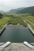
Urakawa Dam [Hokkaido Pref.]
|
|
|
Dam Photo
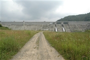 043047 Fukachan
|
|
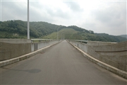 043049 Fukachan
|
|
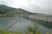 043051 Fukachan
|
|
 043055 Fukachan
|
|
|
| Location (Latitude, Longitude) |
N 42°141' 22'',E 142°49' 27''
[Japanese Dam Finder]
|
| Purpose/Dam type |
FN/G
|
| Height/Crest length/Dam volume |
42.1m/296m/189 thousand m3 |
| Catchment area/Water surface area |
18.1km2/60ha |
| Reservoir capacity |
5630 thousand m3 |
| FY project started/completed |
1973/1999
|