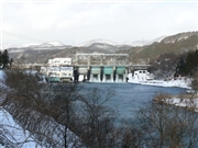
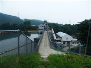
Dam data table
|
Dam No.:237
|
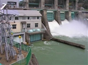
Ishibane Dam [Iwate Pref.]
|
|
|
Dam Photo
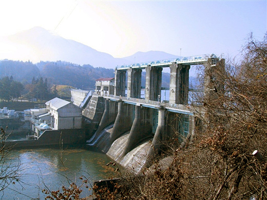
(Photo by: Rui Abe)
|
 114670 marc no hito
|
|
 078306 Dai
|
|
 025175 Hi Ace
|
|
 025179 Hi Ace
|
|
|
| Location (Latitude, Longitude) |
N 39°181' 18'',E 140°57' 15''
[Japanese Dam Finder]
|
| Purpose/Dam type |
P/GF
|
| Height/Crest length/Dam volume |
20.5m/283m/38 thousand m3 |
| Catchment area/Water surface area |
725km2/51ha |
| Reservoir capacity |
4050 thousand m3 |
| FY project started/completed |
1952/1953
|
