Dam data table
|
Dam No.:247
|
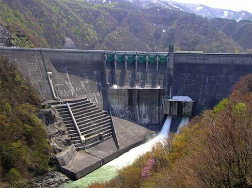
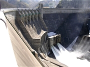
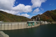
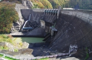
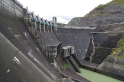
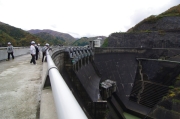
Yuda Dam [Iwate Pref.]
|
|
|
Dam Photo
(Photo by: Hi Ace)
|
 078325 Dai
|
|
 084569 Kei
|
|
 154517 Japan Dam Foundation
|
|
 154420 Japan Dam Foundation
|
|
 154505 Japan Dam Foundation
|
|
 154498 Japan Dam Foundation
|
|
 154448 Japan Dam Foundation
|
|
 154414 Japan Dam Foundation
|
|
|
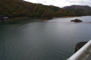
| Location (Latitude, Longitude) |
N 39°181' 06'',E 140°53' 06''
[Japanese Dam Finder]
|
| Purpose/Dam type |
FAP/GA
|
| Height/Crest length/Dam volume |
89.5m/265m/379 thousand m3 |
| Catchment area/Water surface area |
583km2/630ha |
| Reservoir capacity |
114160 thousand m3 |
| FY project started/completed |
1953/1964
|
