Dam data table
|
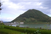
Dam No.:307
|
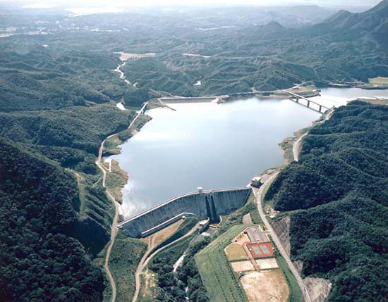
Minamikawa Dam [Miyagi Pref.]
|
|
|
Dam Photo
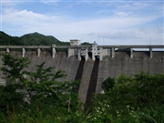 046496 Dai
|
|
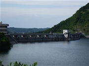
 046695 Rui Abe
|
|
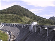
 046495 Dai
|
|
 075948 Akina Sato
|
|
|
| Location (Latitude, Longitude) |
N 38°261' 05'',E 140°49' 16''
[Japanese Dam Finder]
|
| Purpose/Dam type |
FNW/G
|
| Height/Crest length/Dam volume |
46m/355m/244 thousand m3 |
| Catchment area/Water surface area |
22.5km2/90ha |
| Reservoir capacity |
10000 thousand m3 |
| FY project started/completed |
1975/1987
|