Dam data table
|
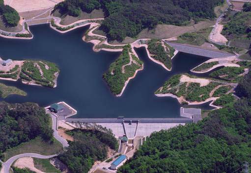
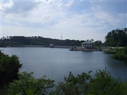
Dam No.:532
|
Kanezawa Choseichi [Fukushima Pref.]
|
|
|
Dam Photo
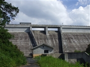 046635 Dai
|
|
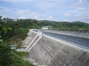 046633 Dai
|
|
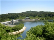 019773 Fuka
|
|
 046634 Dai
|
|
|
| Location (Latitude, Longitude) |
N 37°201' 34'',E 140°26' 56''
[Japanese Dam Finder]
|
| Purpose/Dam type |
A/G
|
| Height/Crest length/Dam volume |
30.8m/247.8m/63 thousand m3 |
| Catchment area/Water surface area |
1.3km2/15ha |
| Reservoir capacity |
1371 thousand m3 |
| FY project started/completed |
1979/2001
|