Dam data table
|
Dam No.:559
|
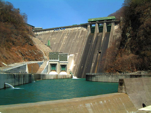
Ikari Dam [Tochigi Pref.]
|
|
|
Dam Photo
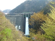 022204 Narikatsu
|
|
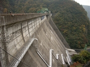
 040637 Kancho!
|
|
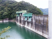
 041366 Fumufumu
|
|
 062368 Dai
|
|
|
| Location (Latitude, Longitude) |
N 36°541' 11'',E 139°42' 20''
[Japanese Dam Finder]
|
| Purpose/Dam type |
FNP/G
|
| Height/Crest length/Dam volume |
112m/267m/468 thousand m3 |
| Catchment area/Water surface area |
271.2km2/310ha |
| Reservoir capacity |
55000 thousand m3 |
| FY project started/completed |
1941/1956
|