Dam data table
|
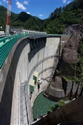
Dam No.:563
|
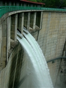
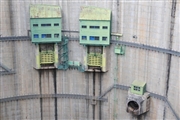
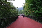
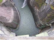
Kawamata Dam [Tochigi Pref.]
|
|
|
Dam Photo
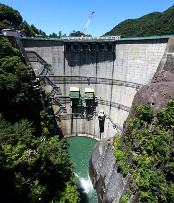
(Photo by: Takashi Yasukochi)
|
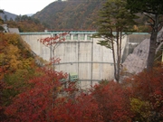 041371 Fumufumu
|
|
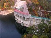 026203 Hi Ace
|
|
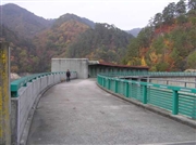 026208 Hi Ace
|
|
 040596 Poko
|
|
 127053 KAKI
|
|
 127390 Japan Dam Foundation
|
|
 026230 Hi Ace
|
|
 125851 Takashi Yasukochi
|
|
|
| Location (Latitude, Longitude) |
N 36°521' 41'',E 139°31' 13''
[Japanese Dam Finder]
|
| Purpose/Dam type |
FNP/A
|
| Height/Crest length/Dam volume |
117m/131m/147 thousand m3 |
| Catchment area/Water surface area |
179.4km2/259ha |
| Reservoir capacity |
87600 thousand m3 |
| FY project started/completed |
1957/1966
|
