Dam data table
|
Dam No.:574
|
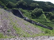
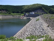
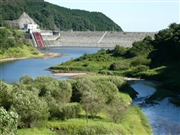
Terayama Dam [Tochigi Pref.]
|
|
|
Dam Photo
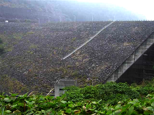
(Photo by: Hi Ace)
|
 061486 Dai
|
|
 061485 Dai
|
|
 047404 Dam master
|
|
 026310 Hi Ace
|
|
|
| Location (Latitude, Longitude) |
N 36°501' 50'',E 139°51' 52''
[Japanese Dam Finder]
|
| Purpose/Dam type |
FNW/R
|
| Height/Crest length/Dam volume |
62.2m/260m/1350 thousand m3 |
| Catchment area/Water surface area |
11.5km2/16ha |
| Reservoir capacity |
2550 thousand m3 |
| FY project started/completed |
1972/1984
|
