Dam data table
|
Dam No.:584
|
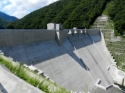
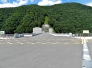
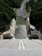
Yunishigawa Dam [Tochigi Pref.]
|
|
|
Dam Photo
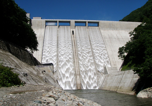
(Photo by: hikohki)
|
 193967 Hiro-M
|
|
 193970 Hiro-M
|
|
 162356 Kajima-Shimizu JV
|
|
 180571 Hajime Tanaka
|
|
|
| Location (Latitude, Longitude) |
N 36°561' 10'',E 139°39' 48''
[Japanese Dam Finder]
|
| Purpose/Dam type |
FNAWI/G
|
| Height/Crest length/Dam volume |
119m/320m/1060 thousand m3 |
| Catchment area/Water surface area |
102km2/198ha |
| Reservoir capacity |
75000 thousand m3 |
| FY project started/completed |
1982/2012
|
