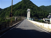
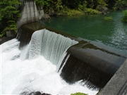
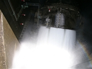
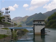
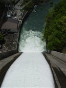
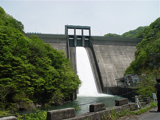
[Back]  [Dams in Japan]  [Japanese Page]


Dam data table
 
Dam No.:605
 
Fujiwara Dam [Gunma Pref.]

 → Fujiwara Dam (Re)
Dam Photo

(Photo by: Sanchan)
026414 Hi Ace
026445 Hi Ace
120194 Suika
062193 Dai
063940 Sanchan
047669 Dam master
047739 Dam master
064011 Sanchan
Location (Latitude, Longitude) N 36°481' 16'',E 139°2' 12''   [Japanese Dam Finder]
Purpose/Dam type FNP/G
Height/Crest length/Dam volume 95m/230m/415 thousand m3
Catchment area/Water surface area 400.2km2/169ha
Reservoir capacity 52490 thousand m3
FY project started/completed 1951/1958


Notes:
1. Dam purposes are abbreviated as follows:
A: Agricultural irrigation   F: Flood control   I: Water supply for industry   N: Non-specified, river flow maintenance
P: Hydropower   R: Recreation   S: Snow melting &removing   W: Water supply

2. Dam types are abbreviated as follows:
A: Arch   B: Buttress   CSG: Trapezoidal CSG   E: Earthfill   FA: Asphalt face fill   FC: Asphalt core fill   G: Gravity
GF: Gravity concrete & fill dam (compound)   HG: Hollow gravity   MA: Multi-arch   R: Rockfill

3. The fiscal year (FY) in Japan is from April 1 to March 31 of the following year.

Please send your comments
Copyright 2012 JAPAN DAM FOUNDATION. All rights reserved.

[Back]  [Dams in Japan]  [Japanese Page]