Dam data table
|
Dam No.:609
|
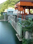
Sonohara Dam [Gunma Pref.]
|
|
|
Dam Photo
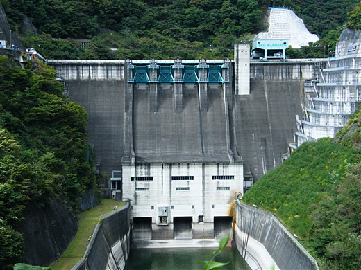
(Photo by: Dai)
|
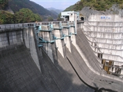 041852 takane
|
|
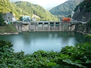 047917 Dam master
|
|
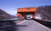 003298 Takashi Yasukochi
|
|
 047909 Dam master
|
|
|
| Location (Latitude, Longitude) |
N 36°381' 20'',E 139°10' 31''
[Japanese Dam Finder]
|
| Purpose/Dam type |
FNP/G
|
| Height/Crest length/Dam volume |
76.5m/127.6m/173 thousand m3 |
| Catchment area/Water surface area |
606.9km2/91ha |
| Reservoir capacity |
20310 thousand m3 |
| FY project started/completed |
1958/1965
|
