|
|
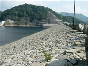
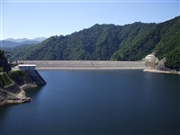
Dam Photo
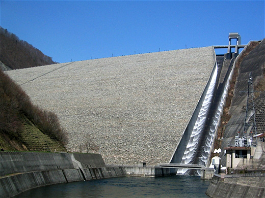
(Photo by: Rui Abe)
|
 026538 Hi Ace
|
|
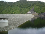
 046723 Rui Abe
|
|
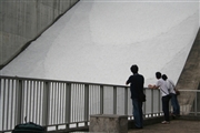
 026547 Hi Ace
|
|
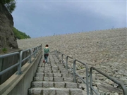
 048305 Dam master
|
|
 048330 Dam master
|
|
 048334 Dam master
|
|
 064230 Sanchan
|
|
 062220 Dai
|
|
|
| Location (Latitude, Longitude) |
N 36°521' 57'',E 139°4' 46''
[Japanese Dam Finder]
|
| Purpose/Dam type |
FNAWIP/R
|
| Height/Crest length/Dam volume |
158m/520m/13100 thousand m3 |
| Catchment area/Water surface area |
95.4km2/200ha |
| Reservoir capacity |
90000 thousand m3 |
| FY project started/completed |
1973/1990
|
