Dam data table
|
Dam No.:641
|
Kakkaku Dam [Saitama Pref.]
|
|
|
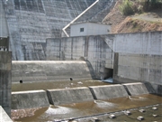
Dam Photo
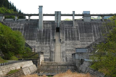
(Photo by: Fukachan)
|
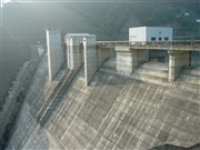 048675 Dam master
|
|
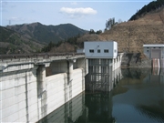 046731 Rui Abe
|
|
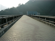 048681 Dam master
|
|
 046729 Rui Abe
|
|
|
| Location (Latitude, Longitude) |
N 36°31' 29'',E 138°57' 56''
[Japanese Dam Finder]
|
| Purpose/Dam type |
FNW/G
|
| Height/Crest length/Dam volume |
60.9m/195m/170 thousand m3 |
| Catchment area/Water surface area |
32.1km2/56ha |
| Reservoir capacity |
10250 thousand m3 |
| FY project started/completed |
1970/2001
|
