Dam data table
|
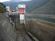
Dam No.:787
|
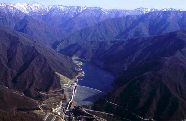
Sagurigawa Dam [Niigata Pref.]
|
|
|
Dam Photo
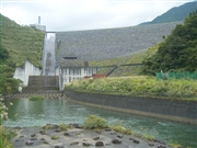 041494 Fumufumu
|
|
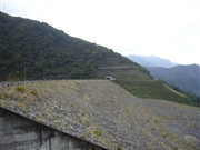 063749 Kitaguni no NAGO
|
|
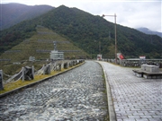 063763 Kitaguni no NAGO
|
|
 063746 Kitaguni no NAGO
|
|
|
| Location (Latitude, Longitude) |
N 37°31' 14'',E 139°0' 03''
[Japanese Dam Finder]
|
| Purpose/Dam type |
FNWP/R
|
| Height/Crest length/Dam volume |
119.5m/419.5m/6900 thousand m3 |
| Catchment area/Water surface area |
76.2km2/76ha |
| Reservoir capacity |
27500 thousand m3 |
| FY project started/completed |
1975/1993
|