Dam data table
|
Dam No.:848
|
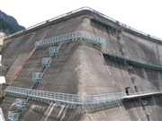
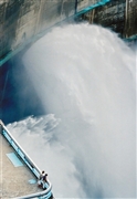
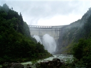
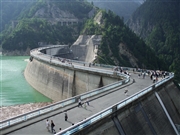
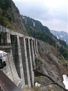
Kurobe Dam [Toyama Pref.]
|
|
|
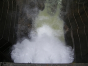
Dam Photo
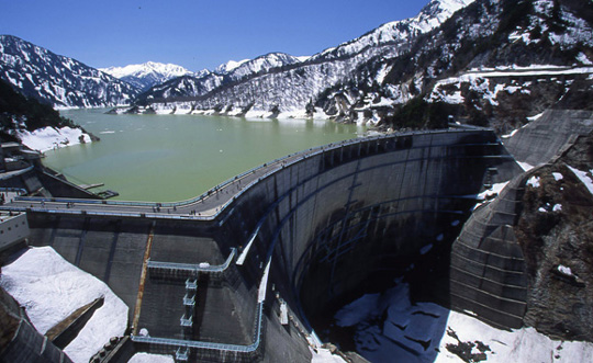
(Photo by: Takashi Yasukochi)
|
 046770 Rui Abe
|
|
 050136 Dam master
|
|
 050145 Dam master
|
|
 050158 Dam master
|
|
 009742 Executive Committee for Water Week
|
|
 019824 NAUTIS
|
|
 061711 Dai
|
|
 050129 Dam master
|
|
 080922 Takashi Yasukochi
|
|
 080991 Takashi Yasukochi
|
|
 081029 Takashi Yasukochi
|
|
 075649 Java
|
|
|
| Location (Latitude, Longitude) |
N 36°331' 59'',E 137°39' 44''
[Japanese Dam Finder]
|
| Purpose/Dam type |
P/A
|
| Height/Crest length/Dam volume |
186m/492m/1582 thousand m3 |
| Catchment area/Water surface area |
188.5km2/349ha |
| Reservoir capacity |
199285 thousand m3 |
| FY project started/completed |
1956/1963
|
