Dam data table
|
Dam No.:879
|
Kubusugawa Dam [Toyama Pref.]
|
|
|
Dam Photo
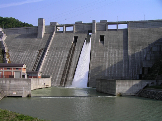
(Photo by: Atsushi Kato)
|
 044816 Atsushi Kato
|
|
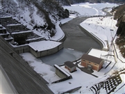
 051237 Dam master
|
|
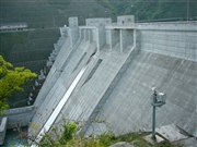
 051206 Dam master
|
|
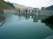
 051232 Dam master
|
|
|
| Location (Latitude, Longitude) |
N 36°301' 37'',E 137°11' 15''
[Japanese Dam Finder]
|
| Purpose/Dam type |
FNPS/G
|
| Height/Crest length/Dam volume |
95m/253m/469 thousand m3 |
| Catchment area/Water surface area |
58.7km2/41ha |
| Reservoir capacity |
10000 thousand m3 |
| FY project started/completed |
1976/2002
|
