Dam data table
|
Dam No.:881
|
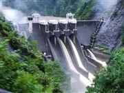
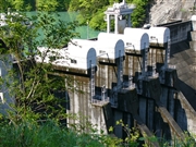
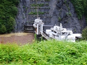
Dashidaira Dam [Toyama Pref.]
|
|
|
Dam Photo
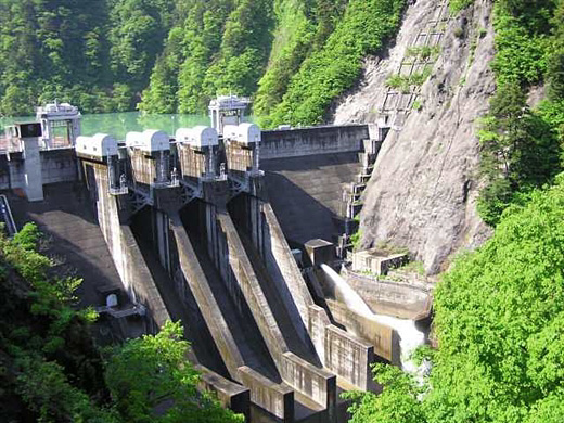
(Photo by: Hi Ace)
|
 061738 Dai
|
|
 051276 Dam master
|
|
 061736 Dai
|
|
 051282 Dam master
|
|
|
| Location (Latitude, Longitude) |
N 36°461' 13'',E 137°37' 52''
[Japanese Dam Finder]
|
| Purpose/Dam type |
P/G
|
| Height/Crest length/Dam volume |
76.7m/136m/203 thousand m3 |
| Catchment area/Water surface area |
461.2km2/35ha |
| Reservoir capacity |
9010 thousand m3 |
| FY project started/completed |
1980/1985
|
