Dam data table
|
Dam No.:936
|
Busyu-ko [Fukui Pref.]
|
|
|
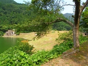
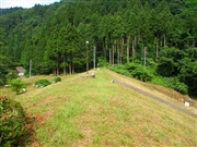
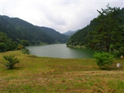
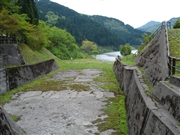
Dam Photo
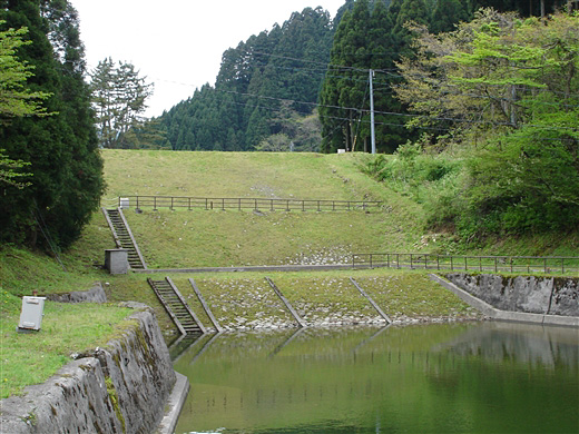
(Photo by: ToNo)
|
 027945 Hi Ace
|
|
 027927 Hi Ace
|
|
 027920 Hi Ace
|
|
 018959 ToNo
|
|
|
| Location (Latitude, Longitude) |
N 36°11' 00'',E 136°1' 23''
[Japanese Dam Finder]
|
| Purpose/Dam type |
P/E
|
| Height/Crest length/Dam volume |
20.3m/91.5m/61 thousand m3 |
| Catchment area/Water surface area |
9km2/19ha |
| Reservoir capacity |
2261 thousand m3 |
| FY project started/completed |
1916/1920
|
