Dam data table
|
Dam No.:938
|
Kumokawa Dam [Fukui Pref.]
|
|
|
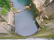
Dam Photo
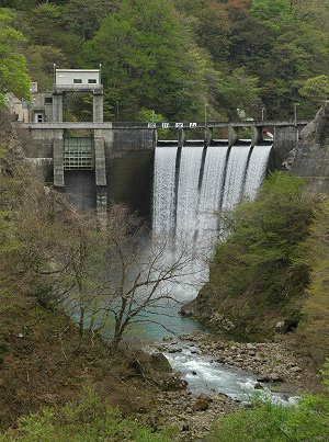
(Photo by: Fukachan)
|
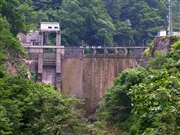 027948 Hi Ace
|
|
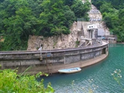 027967 Hi Ace
|
|
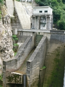 052195 Dam master
|
|
 027959 Hi Ace
|
|
|
| Location (Latitude, Longitude) |
N 35°501' 51'',E 136°27' 29''
[Japanese Dam Finder]
|
| Purpose/Dam type |
P/A
|
| Height/Crest length/Dam volume |
39m/95m/18 thousand m3 |
| Catchment area/Water surface area |
58.8km2/18ha |
| Reservoir capacity |
1490 thousand m3 |
| FY project started/completed |
1952/1957
|
