Dam data table
|
Dam No.:942
|
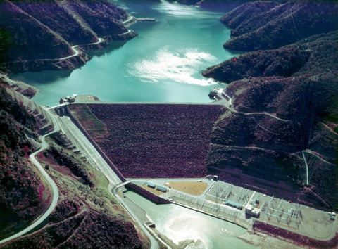
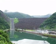
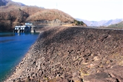
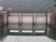
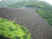
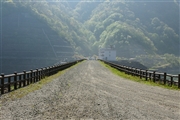
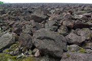
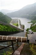
Kuzuryu Dam [Fukui Pref.]
|
|
|
Dam Photo
 018975 ToNo
|
|
 040649 Kancho!
|
|
 044963 Atsushi Kato
|
|
 052342 Dam master
|
|
 129726 ToNo
|
|
 079565 Japan Dam Foundation
|
|
 079856 Japan Dam Foundation
|
|
 105448 KIYOTAKA
|
|
|
| Location (Latitude, Longitude) |
N 35°531' 22'',E 136°41' 17''
[Japanese Dam Finder]
|
| Purpose/Dam type |
FP/R
|
| Height/Crest length/Dam volume |
128m/355m/6300 thousand m3 |
| Catchment area/Water surface area |
301.5km2/890ha |
| Reservoir capacity |
353000 thousand m3 |
| FY project started/completed |
1962/1968
|