Dam data table
|
Dam No.:1011
|
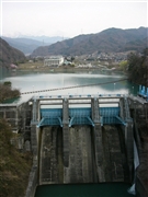
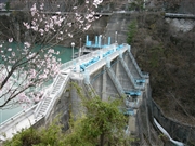
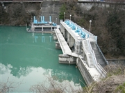
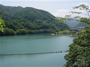
Takato Dam [Nagano Pref.]
|
|
|
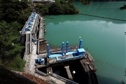
Dam Photo
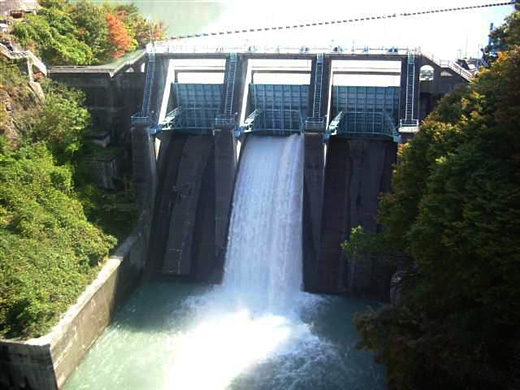
(Photo by: Hi Ace)
|
 053408 Dam master
|
|
 053419 Dam master
|
|
 053422 Dam master
|
|
 019042 ToNo
|
|
 111330 Takashi Yasukochi
|
|
 019041 ToNo
|
|
 116062 KAKI
|
|
 116066 KAKI
|
|
|
| Location (Latitude, Longitude) |
N 35°491' 46'',E 138°3' 47''
[Japanese Dam Finder]
|
| Purpose/Dam type |
AP/G
|
| Height/Crest length/Dam volume |
30.9m/76.1m/22 thousand m3 |
| Catchment area/Water surface area |
438.4km2/24ha |
| Reservoir capacity |
2310 thousand m3 |
| FY project started/completed |
1957/1958
|
