Dam data table
|
Dam No.:1022
|
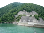
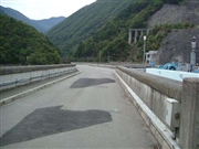
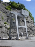
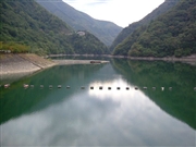
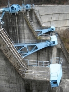
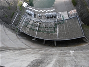
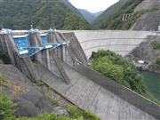
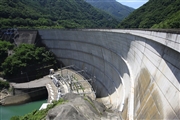
Midono Dam [Nagano Pref.]
|
|
|
Dam Photo
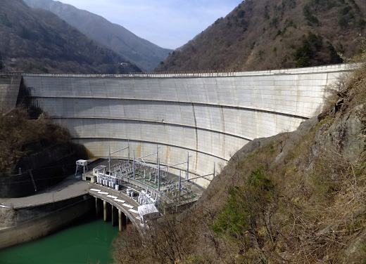
(Photo by: Hajime Tanaka)
|
 053757 Dam master
|
|
 028416 Hi Ace
|
|
 019082 ToNo
|
|
 028422 Hi Ace
|
|
 139180 s_wind
|
|
 102034 Atsushi Kato
|
|
 102046 Atsushi Kato
|
|
 081218 Takashi Yasukochi
|
|
|
| Location (Latitude, Longitude) |
N 36°91' 15'',E 137°44' 52''
[Japanese Dam Finder]
|
| Purpose/Dam type |
P/A
|
| Height/Crest length/Dam volume |
95.5m/343.3m/304 thousand m3 |
| Catchment area/Water surface area |
431km2/57ha |
| Reservoir capacity |
15100 thousand m3 |
| FY project started/completed |
1965/1969
|
