[Back]  [Dams in Japan]  [Japanese Page]


Dam data table
 
Dam No.:1030
 
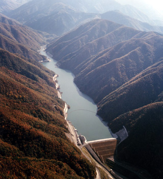
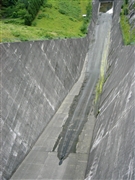
Narai Dam [Nagano Pref.]
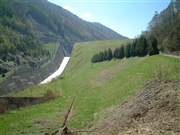
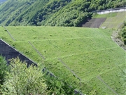
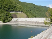

Dam Photo


053949 Dam master
019088 ToNo
019091 ToNo
053965 Dam master
Location (Latitude, Longitude) N 35°561' 06'',E 137°48' 31''   [Japanese Dam Finder]
Purpose/Dam type FNW/R
Height/Crest length/Dam volume 60m/180.8m/953 thousand m3
Catchment area/Water surface area 46km2/38ha
Reservoir capacity 8000 thousand m3
FY project started/completed 1966/1982


Notes:
1. Dam purposes are abbreviated as follows:
A: Agricultural irrigation   F: Flood control   I: Water supply for industry   N: Non-specified, river flow maintenance
P: Hydropower   R: Recreation   S: Snow melting &removing   W: Water supply

2. Dam types are abbreviated as follows:
A: Arch   B: Buttress   CSG: Trapezoidal CSG   E: Earthfill   FA: Asphalt face fill   FC: Asphalt core fill   G: Gravity
GF: Gravity concrete & fill dam (compound)   HG: Hollow gravity   MA: Multi-arch   R: Rockfill

3. The fiscal year (FY) in Japan is from April 1 to March 31 of the following year.

Please send your comments
Copyright 2012 JAPAN DAM FOUNDATION. All rights reserved.

[Back]  [Dams in Japan]  [Japanese Page]