|
|
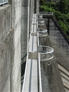
Dam Photo
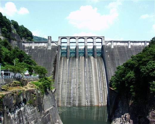
(Photo by: ToNo)
|
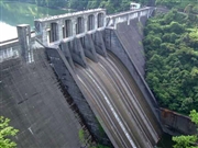 028846 Hi Ace
|
|
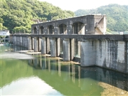 054902 Dam master
|
|
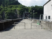 065403 Sanchan
|
|
 065385 Sanchan
|
|
|
| Location (Latitude, Longitude) |
N 35°281' 08'',E 137°10' 20''
[Japanese Dam Finder]
|
| Purpose/Dam type |
FP/G
|
| Height/Crest length/Dam volume |
98.2m/260m/497 thousand m3 |
| Catchment area/Water surface area |
2409km2/263ha |
| Reservoir capacity |
79520 thousand m3 |
| FY project started/completed |
1950/1955
|
