Dam data table
|
Dam No.:1178
|
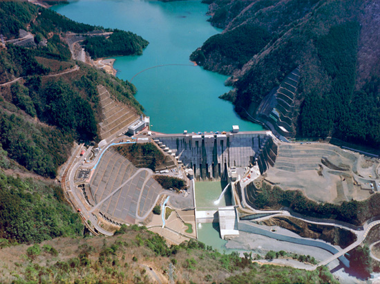
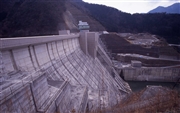
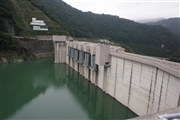
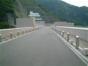
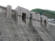
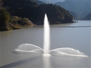
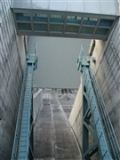
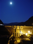
Nagashima Dam [Shizuoka Pref.]
|
|
|
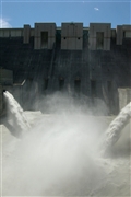
Dam Photo
 005039 Takashi Yasukochi
|
|
 040821 Kancho!
|
|
 057751 Dam master
|
|
 057826 Dam master
|
|
 019421 ToNo
|
|
 066413 Sanchan
|
|
 066424 Sanchan
|
|
 023216 Japan Dam Foundation
|
|
|
| Location (Latitude, Longitude) |
N 35°91' 58'',E 138°9' 19''
[Japanese Dam Finder]
|
| Purpose/Dam type |
FNAWI/G
|
| Height/Crest length/Dam volume |
109m/308m/861 thousand m3 |
| Catchment area/Water surface area |
534km2/233ha |
| Reservoir capacity |
78000 thousand m3 |
| FY project started/completed |
1972/2001
|